
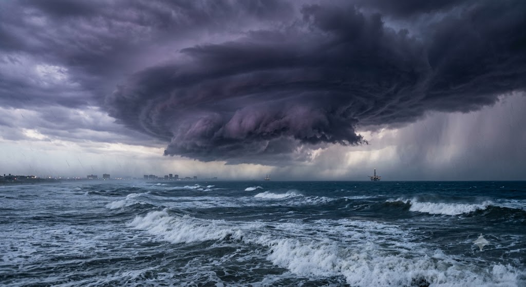
After an unprecedentedly quiet stretch in the Atlantic basin, the 2026 hurricane season has abruptly awakened. On Wednesday, October 7, Tropical Storm Isaias officially formed in the southwestern Gulf of Mexico. Fueled by exceptionally warm waters, the system is forecast to undergo rapid intensification over the coming days. Meteorologists project that Isaias will strengthen into a Category 2 or potentially a Category 3 hurricane before making landfall along the United States Gulf Coast between late Friday night and early Saturday morning.
The sudden eruption of Isaias carries profound climatological significance. If the storm reaches hurricane strength as predicted, it will become the very first hurricane of the 2026 Atlantic season. According to AccuWeather hurricane experts, this would make Isaias the latest first hurricane to form in the Atlantic basin in more than a century, ending an extreme and highly unusual meteorological drought.
Current Trajectory and Rapid Intensification
As of early Wednesday morning, Isaias was centered approximately 580 to 600 miles southwest of the mouth of the Mississippi River, and roughly 285 miles west of Progreso, Mexico. The storm is currently churning with maximum sustained winds of 40 mph and moving east-northeast at a sluggish pace of 8 mph.
Over the next 24 hours, the system is expected to track slowly to the east, bringing substantial rainfall and flooding risks to Mexico’s Yucatán Peninsula. Following this eastward drift, forecast models show Isaias executing a sharp turn toward the northeast, putting it on a direct collision course with the central and northern U.S. Gulf Coast.
The primary concern for forecasters is the thermodynamic environment Isaias is about to enter. The central Gulf of Mexico currently features very warm sea surface temperatures, providing premium high-octane fuel for tropical cyclone development. The National Hurricane Center anticipates that Isaias will achieve hurricane status by early Thursday morning. From there, it is forecast to continue strengthening, peaking with wind speeds of up to 110 mph—bordering on major Category 3 status—by early Friday.
The Landfall Threat Zone
While the exact location of landfall remains somewhat uncertain, the consensus among meteorological models places the strike zone somewhere between eastern Louisiana and the western Florida Panhandle. Coastal communities across Mississippi, Alabama, and the Florida Panhandle are currently facing the highest risk.
Specific municipalities in the direct crosshairs of the projected track include Mobile, Biloxi, Pascagoula, Gulf Shores, Pensacola, and Destin. Authorities are urging residents in these high-vulnerability areas to finalize their emergency preparations immediately, as deteriorating weather conditions will precede the storm’s center arriving late Friday or early Saturday.
Even if the eye of the storm does not score a direct hit on certain Florida communities, the structural footprint of Isaias guarantees that severe impacts will extend well beyond the immediate point of landfall. Recognizing the imminent threat, Florida officials have already moved to declare a state of emergency, unlocking essential resources for disaster response and evacuation logistics.
Anticipated Impacts: Surge, Wind, and Extreme Rainfall
Regardless of its exact Saffir-Simpson categorization at landfall, Isaias will deliver a destructive combination of meteorological hazards to the northern Gulf Coast. The storm’s slow forward momentum combined with the geography of the Gulf coast creates a high-risk scenario for significant water inundation.
- Torrential Rainfall: Isaias is expected to act as a massive moisture pump. Forecasters project widespread rainfall accumulations of 4 to 8 inches across the central Gulf coast. In specific localized areas where rain bands stall or train over the same terrain, totals could reach a staggering 15 inches. This volume of precipitation will almost certainly trigger severe flash flooding, overwhelmed municipal drainage systems, and swollen riverways.
- Storm Surge: The onshore flow driven by the storm’s eastern quadrant will push a massive wall of water into the shallow coastal shelves of Mississippi, Alabama, and Florida. This life-threatening storm surge has the potential to inundate barrier islands, compromise coastal highways, and flood low-lying residential neighborhoods well ahead of the storm’s arrival.
- Damaging Winds: With peak winds forecast to approach 110 mph prior to landfall, Isaias will generate severe structural wind threats. Residents should prepare for widespread, prolonged power outages, downed trees, and structural damage to roofs and building facades across the impact zone.
As the 2026 Atlantic season shatters historical records for its late start, the sudden emergence of Isaias proves that a quiet season does not equate to a harmless one. Millions of residents along the Gulf Coast are now operating under a rapidly closing window for preparation. The transition from a tropical depression to a highly destructive hurricane is unfolding in a matter of days, demanding immediate vigilance from state emergency management agencies and local populations alike.
* Conceptual illustration generated using AI